SO last THURSDAY , during lunch time I walk around Elephant & Castle and documented what I saw, After I produced this drawing what is representing what Elephant & castle is in my eyes, is a stereotype which is created by things I saw and my imagination. Thats say some story about the place in specific period of time, but is it a map ? No but have a potential to be one I jest have to figure out how use this idea and make map out of this ........
SO i TRY AGEIN EXPERIMENT WITH TRIANGLES , THIS TIME i USE ILLUSTRATIONS TEXT , MY OBSERVATIONS AND ABSTRACT PATTERNS WHICH WERE THINKS I SAW BUT CODED IN TO A PATTERNS , LATE EXPLAIN EXPLAINED IN THE KEY , BUT THAT DIDN'T WORK IVER ... OH WELL MOVING ON
Those are experiments I have done during past few days, I try to apply my previous idea in 3d form made out of triangles. i also try to compose sound in to it. so lets say I am going to Brixton and I document everything caches my eye, after that I to drawn abstract pattern which will tell the story of this place and things and people i have seen there. I also recorded sound from this place. I was planing to use a recording chip from postcards to present this. unfortunately that didn't work as I thought it would, it is not what I expected to be, so now i start to edit this idea and present this in for of book , i will show you what thats take me very soon
It has been a while since my last post but I was very buzzy , creating new ideas, brainstorming and ten experimenting whit those ideas. There it is, my sketch book.
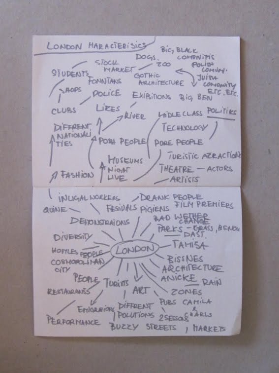
I have this idea to do a map which would be a documentation of thinks you see in london. I probably wont be able to map all london but I could do to a map of some areas which are a stereotypes of london. This map would be a documentation of london of this time so I will have to be very specific and say that it is a map of london for example from 15 of may till 25. of may. I don't know jet how this idea will develop and How i will present this, lets see what's is going to happen
Eric Fischer wondered how fast San Francisco's transit system really was, so he asked the transit agency's realtime data feed, and drew a picture of the answer:
I find this on the Jarrett Blog where you can read more about this map.